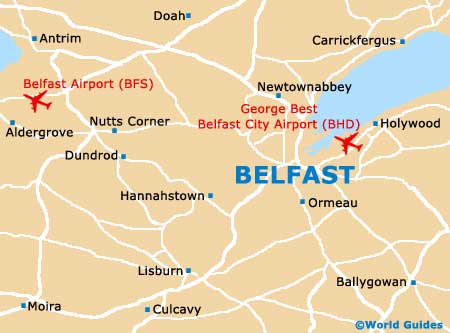
George Best Belfast City Airport (BHD)
Orientation and Maps
(Belfast, Northern Ireland)
The most important city in the whole of Northern Ireland, Belfast is the capital and is located around the River Lagan. Many bridges span the river, linking both sides of the city, with these routes including East Bridge Street (A20), Bridge End (A2) and Ormeau Road (A24). Prominent landmarks around the city of Belfast include the Botanic Gardens Park to the south on the eastern side of the river, and nearby the Ormeau Park, which also lies to the south.
Close to the city centre and located just a short distance to the north-east, George Best Belfast City Airport (BHD) is the city's number two airport, after the larger Belfast International Airport (BFS). Regularly handling two million+ passengers each year, Belfast's George Best Airport first began operating on a commercial basis in 1983 and has gained considerable importance ever since.
George Best Belfast City Airport (BHD) Maps: Important City Districts
Over the years the city of Belfast has expanded greatly and the Greater Belfast area has swallowed up many adjacent towns and villages. As a direct result of the city's history, Belfast contains many distinct communities and neighbourhoods. Some of the most prominent districts include the city centre itself, the Cathedral Quarter around the city's magnificent St. Anne's Cathedral, the exclusive suburb of Cherryvalley, and the area around Donegall Road, close to the M1 motorway.
Other noteworthy districts in and around central Belfast include the community of Finaghy, the famous Golden Mile along Great Victoria Street and the Holy Land district around the inner-south district. Ravenhill, which is home to the Ravenhill Stadium, is where many popular rugby games take place, being hosted by the Irish Rugby Football Union.
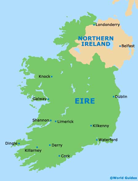
Northern Ireland Map

Belfast Map